Bridge over the River Severn
Introduction
The photograph on this page of Bridge over the River Severn by David Stowell as part of the Geograph project.
The Geograph project started in 2005 with the aim of publishing, organising and preserving representative images for every square kilometre of Great Britain, Ireland and the Isle of Man.

There are currently over 7.5m images from over 14,400 individuals and you can help contribute to the project by visiting https://www.geograph.org.uk
Bridge over the River Severn
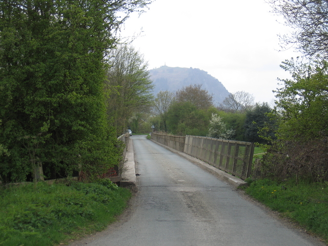
Image: © David Stowell Taken: 28 Apr 2006
Looking across the former Shropshire and Montgomery Railway bridge over the River Severn. At one time this carried the Criggion branch of the railway but now it carries the local road from Crewgreen to Melverley. In the distance are the Breiddens with Rodney's Pillar at Image clearly visible on the top.
Images are licensed for reuse under creativecommons.org/licenses/by-sa/2.0
Image Location


Leaflet Map data © OpenStreetMap
Latitude
52.734765
Longitude
-2.993708