Flats and church, Tooting
Introduction
The photograph on this page of Flats and church, Tooting by Derek Harper as part of the Geograph project.
The Geograph project started in 2005 with the aim of publishing, organising and preserving representative images for every square kilometre of Great Britain, Ireland and the Isle of Man.

There are currently over 7.5m images from over 14,400 individuals and you can help contribute to the project by visiting https://www.geograph.org.uk
Flats and church, Tooting
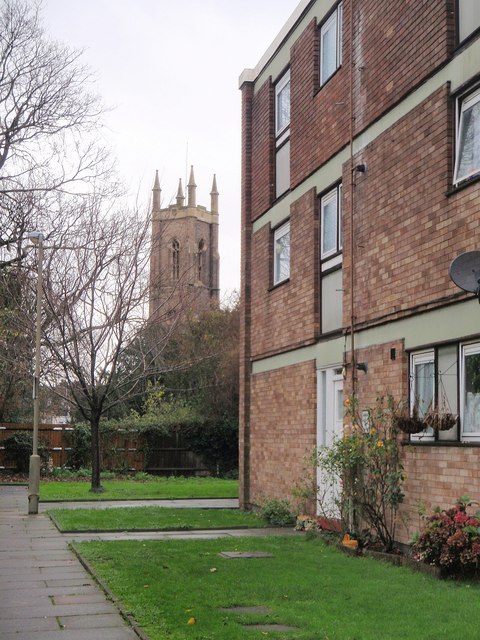
Image: © Derek Harper Taken: 30 Nov 2009
On the right is part of Image In the background is the tower of St Nicholas' church, dating from the 1830s.
Images are licensed for reuse under creativecommons.org/licenses/by-sa/2.0
Image Location


Leaflet Map data © OpenStreetMap
Latitude
51.424028
Longitude
-0.161254