The Lady Burn
Introduction
The photograph on this page of The Lady Burn by Thomas Nugent as part of the Geograph project.
The Geograph project started in 2005 with the aim of publishing, organising and preserving representative images for every square kilometre of Great Britain, Ireland and the Isle of Man.

There are currently over 7.5m images from over 14,400 individuals and you can help contribute to the project by visiting https://www.geograph.org.uk
The Lady Burn
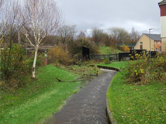
Image: © Thomas Nugent Taken: 23 Nov 2009
In Quarrier Park. Note the flattened grass on the left; the water level has been much higher in recent days due to the heavy rain. Note the small wooden platform to the left which is reached from the red gate on the extreme left.
Images are licensed for reuse under creativecommons.org/licenses/by-sa/2.0
Image Location
Latitude
55.939209
Longitude
-4.725133