Quarrier park
Introduction
The photograph on this page of Quarrier park by Thomas Nugent as part of the Geograph project.
The Geograph project started in 2005 with the aim of publishing, organising and preserving representative images for every square kilometre of Great Britain, Ireland and the Isle of Man.

There are currently over 7.5m images from over 14,400 individuals and you can help contribute to the project by visiting https://www.geograph.org.uk
Quarrier park
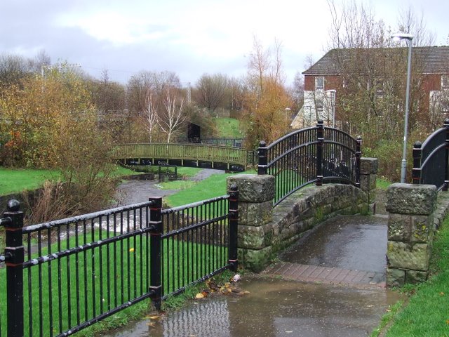
Image: © Thomas Nugent Taken: 23 Nov 2009
A tannery once stood on or near this site, the sluice gate by the second bridge being one of the few remaining traces.
Images are licensed for reuse under creativecommons.org/licenses/by-sa/2.0
Image Location
Latitude
55.939209
Longitude
-4.725133