Ormonde Street in Jarrow
Introduction
The photograph on this page of Ormonde Street in Jarrow by Vin Mullen as part of the Geograph project.
The Geograph project started in 2005 with the aim of publishing, organising and preserving representative images for every square kilometre of Great Britain, Ireland and the Isle of Man.

There are currently over 7.5m images from over 14,400 individuals and you can help contribute to the project by visiting https://www.geograph.org.uk
Ormonde Street in Jarrow
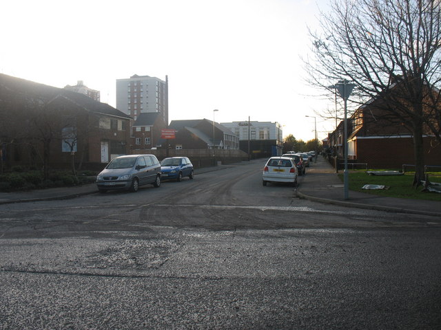
Image: © Vin Mullen Taken: 27 Nov 2009
Ormonde Street in Jarrow looking West. Viewed from Ferry Street. On the left on the picture the back of Jarrow Ex-Servicemen's Club & Institute Ltd. Left of centre on the picture Ellen Court highrise flats. Centre of the picture old Burton's Building.
Images are licensed for reuse under creativecommons.org/licenses/by-sa/2.0
Image Location
Latitude
54.982932
Longitude
-1.487917