Public footpath to Easton Road and Kadelands House
Introduction
The photograph on this page of Public footpath to Easton Road and Kadelands House by Philip Barker as part of the Geograph project.
The Geograph project started in 2005 with the aim of publishing, organising and preserving representative images for every square kilometre of Great Britain, Ireland and the Isle of Man.

There are currently over 7.5m images from over 14,400 individuals and you can help contribute to the project by visiting https://www.geograph.org.uk
Public footpath to Easton Road and Kadelands House
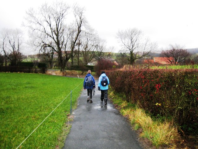
Image: © Philip Barker Taken: 29 Nov 2009
This photograph shows the public footpath to Kadelands House which lies on the minor road that runs between Ainthorpe (to the left) and Danby Castle (to the right). Kadelands House can be seen just above the two walkers and Kadelands Farm lies just to the right (the red-roofed building). Esk Dale lies just beyond the buildings. Across the dale, on the horiozon, the small village of Danby is just visible.
Images are licensed for reuse under creativecommons.org/licenses/by-sa/2.0
Image Location
Latitude
54.460784
Longitude
-0.90377