Lane towards Stutton church
Introduction
The photograph on this page of Lane towards Stutton church by Andrew Hill as part of the Geograph project.
The Geograph project started in 2005 with the aim of publishing, organising and preserving representative images for every square kilometre of Great Britain, Ireland and the Isle of Man.

There are currently over 7.5m images from over 14,400 individuals and you can help contribute to the project by visiting https://www.geograph.org.uk
Lane towards Stutton church
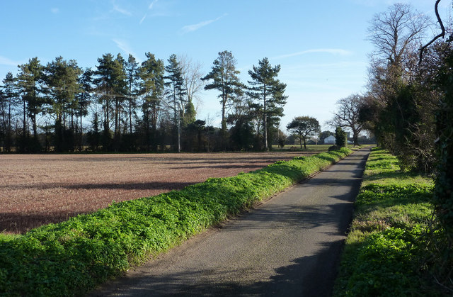
Image: © Andrew Hill Taken: 1 Dec 2009
A house and the church tower can be seen in the distance just to the left of the far end of the road. The lane passes a distinctive line of trees on the left.
Images are licensed for reuse under creativecommons.org/licenses/by-sa/2.0
Image Location
Latitude
51.96756
Longitude
1.138315