The Military Road
Introduction
The photograph on this page of The Military Road by Richard Webb as part of the Geograph project.
The Geograph project started in 2005 with the aim of publishing, organising and preserving representative images for every square kilometre of Great Britain, Ireland and the Isle of Man.

There are currently over 7.5m images from over 14,400 individuals and you can help contribute to the project by visiting https://www.geograph.org.uk
The Military Road
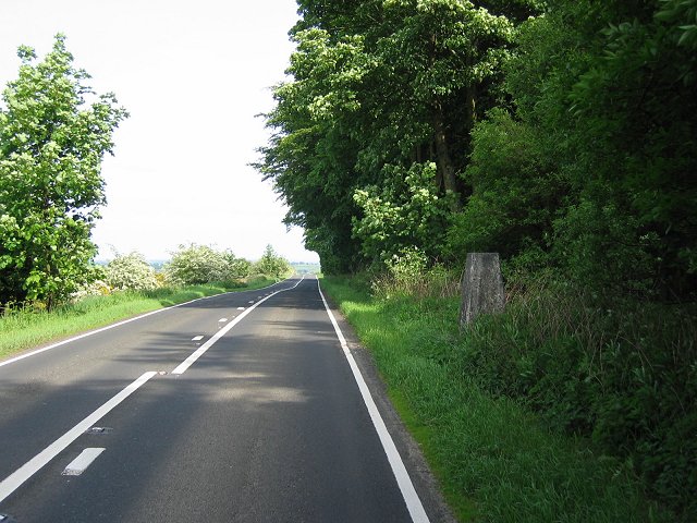
Image: © Richard Webb Taken: 7 Jun 2004
Hazardous trig visiting on the busy B6318. This is the military road running alongside Hadrian's Wall. The wall ran through the wood, and survives as an earthwork here.
Images are licensed for reuse under creativecommons.org/licenses/by-sa/2.0
Image Location


Leaflet Map data © OpenStreetMap
Latitude
55.01105
Longitude
-2.040625