The Greensand Way heads towards Great Chart
Introduction
The photograph on this page of The Greensand Way heads towards Great Chart by David Anstiss as part of the Geograph project.
The Geograph project started in 2005 with the aim of publishing, organising and preserving representative images for every square kilometre of Great Britain, Ireland and the Isle of Man.

There are currently over 7.5m images from over 14,400 individuals and you can help contribute to the project by visiting https://www.geograph.org.uk
The Greensand Way heads towards Great Chart
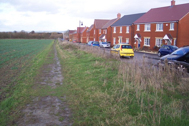
Image: © David Anstiss Taken: 29 Nov 2009
The long distance path on a bridleway heads past a new housing estate (the De Montfort Park Development), towards a bridleway bridge over the A28 Ashford Road, from Mock Lane.
Images are licensed for reuse under creativecommons.org/licenses/by-sa/2.0
Image Location
Latitude
51.137351
Longitude
0.829166