Loudon Cottages
Introduction
The photograph on this page of Loudon Cottages by David Anstiss as part of the Geograph project.
The Geograph project started in 2005 with the aim of publishing, organising and preserving representative images for every square kilometre of Great Britain, Ireland and the Isle of Man.

There are currently over 7.5m images from over 14,400 individuals and you can help contribute to the project by visiting https://www.geograph.org.uk
Loudon Cottages
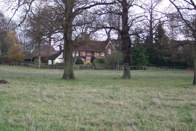
Image: © David Anstiss Taken: 29 Nov 2009
Within the Godinton Estate. Seen from the Greensand Way (long distance path) through the estate. The cottages are on Chestnut Avenue, an old track from Repton Farm to Great Chart.
Images are licensed for reuse under creativecommons.org/licenses/by-sa/2.0
Image Location
Latitude
51.155951
Longitude
0.841031