Open space at the village of Y Fron.
Introduction
The photograph on this page of Open space at the village of Y Fron. by Christine Johnstone as part of the Geograph project.
The Geograph project started in 2005 with the aim of publishing, organising and preserving representative images for every square kilometre of Great Britain, Ireland and the Isle of Man.

There are currently over 7.5m images from over 14,400 individuals and you can help contribute to the project by visiting https://www.geograph.org.uk
Open space at the village of Y Fron.
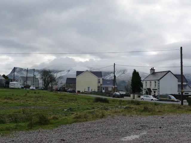
Image: © Christine Johnstone Taken: 28 Nov 2009
At about 300 metres above sea level, this is one of the highest villages for miles around.
Images are licensed for reuse under creativecommons.org/licenses/by-sa/2.0
Image Location
Latitude
53.070041
Longitude
-4.23044