Rocky moorland at the summit of the Rhosgadfan - Waunfawr road
Introduction
The photograph on this page of Rocky moorland at the summit of the Rhosgadfan - Waunfawr road by Christine Johnstone as part of the Geograph project.
The Geograph project started in 2005 with the aim of publishing, organising and preserving representative images for every square kilometre of Great Britain, Ireland and the Isle of Man.

There are currently over 7.5m images from over 14,400 individuals and you can help contribute to the project by visiting https://www.geograph.org.uk
Rocky moorland at the summit of the Rhosgadfan - Waunfawr road
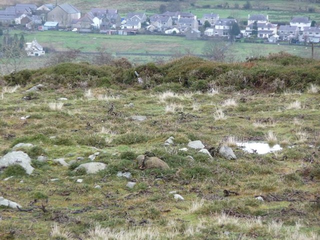
Image: © Christine Johnstone Taken: 28 Nov 2009
The house in Waunfawr are 100 metres below and over a kilometre away.
Images are licensed for reuse under creativecommons.org/licenses/by-sa/2.0
Image Location


Leaflet Map data © OpenStreetMap
Latitude
53.101893
Longitude
-4.21954