Spring and pond on Poor's Allotment
Introduction
The photograph on this page of Spring and pond on Poor's Allotment by Christopher Clift as part of the Geograph project.
The Geograph project started in 2005 with the aim of publishing, organising and preserving representative images for every square kilometre of Great Britain, Ireland and the Isle of Man.

There are currently over 7.5m images from over 14,400 individuals and you can help contribute to the project by visiting https://www.geograph.org.uk
Spring and pond on Poor's Allotment
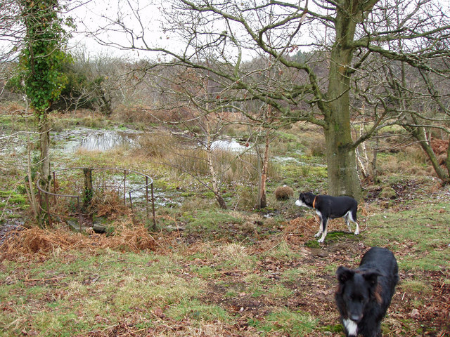
Image: © Christopher Clift Taken: 1 Dec 2009
The spring and pond on Poor's Allotment, a site of Special Scientific interest, section 28 of the Country side act 1981.
Images are licensed for reuse under creativecommons.org/licenses/by-sa/2.0
Image Location
Latitude
51.686215
Longitude
-2.639316