Stile on Greensand Way near Turners
Introduction
The photograph on this page of Stile on Greensand Way near Turners by David Anstiss as part of the Geograph project.
The Geograph project started in 2005 with the aim of publishing, organising and preserving representative images for every square kilometre of Great Britain, Ireland and the Isle of Man.

There are currently over 7.5m images from over 14,400 individuals and you can help contribute to the project by visiting https://www.geograph.org.uk
Stile on Greensand Way near Turners
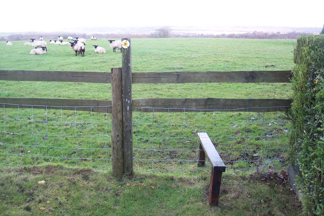
Image: © David Anstiss Taken: 29 Nov 2009
The long distance path from West Street heads through a sheep field towards Hothfield Common.
Images are licensed for reuse under creativecommons.org/licenses/by-sa/2.0
Image Location


Leaflet Map data © OpenStreetMap
Latitude
51.170897
Longitude
0.810618