Haldon Hills at Darnaford
Introduction
The photograph on this page of Haldon Hills at Darnaford by Derek Harper as part of the Geograph project.
The Geograph project started in 2005 with the aim of publishing, organising and preserving representative images for every square kilometre of Great Britain, Ireland and the Isle of Man.

There are currently over 7.5m images from over 14,400 individuals and you can help contribute to the project by visiting https://www.geograph.org.uk
Haldon Hills at Darnaford
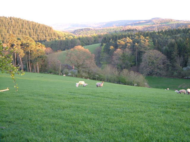
Image: © Derek Harper Taken: 27 Apr 2006
The northern slopes of the Haldon Hills, alternately woodland and pasture, are here bisected by what is, in effect, the upper valley of the River Kenn.
Images are licensed for reuse under creativecommons.org/licenses/by-sa/2.0
Image Location
Latitude
50.694958
Longitude
-3.606938