Lane junction, Kilmersdon
Introduction
The photograph on this page of Lane junction, Kilmersdon by Derek Harper as part of the Geograph project.
The Geograph project started in 2005 with the aim of publishing, organising and preserving representative images for every square kilometre of Great Britain, Ireland and the Isle of Man.

There are currently over 7.5m images from over 14,400 individuals and you can help contribute to the project by visiting https://www.geograph.org.uk
Lane junction, Kilmersdon
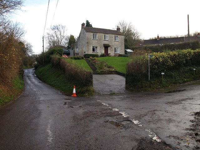
Image: © Derek Harper Taken: 26 Nov 2009
Silver Street passes a side turning to Walton Farm. As the sign indicates, this leads to a bridleway, FR 7/17, which climbs the Kilmersdon Brook valley towards Lipyeate.
Images are licensed for reuse under creativecommons.org/licenses/by-sa/2.0
Image Location
Latitude
51.268578
Longitude
-2.439135