Burgh Road, Lerwick
Introduction
The photograph on this page of Burgh Road, Lerwick by Mike Pennington as part of the Geograph project.
The Geograph project started in 2005 with the aim of publishing, organising and preserving representative images for every square kilometre of Great Britain, Ireland and the Isle of Man.

There are currently over 7.5m images from over 14,400 individuals and you can help contribute to the project by visiting https://www.geograph.org.uk
Burgh Road, Lerwick
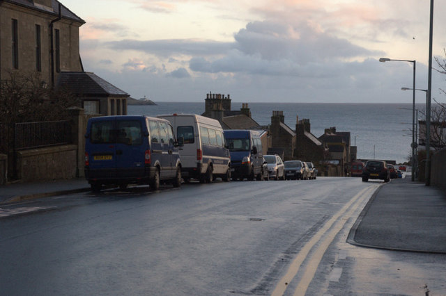
Image: © Mike Pennington Taken: 30 Nov 2009
Burgh Road was named because it was originally the boundary of the Lerwick burgh. The view is to the south and the Bressay lighthouse can be seen in the distance.
Images are licensed for reuse under creativecommons.org/licenses/by-sa/2.0
Image Location
Latitude
60.152112
Longitude
-1.150612