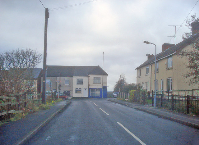
Bentinck Town
Introduction
The photograph on this page of Bentinck Town by Trevor Rickard as part of the Geograph project.
The Geograph project started in 2005 with the aim of publishing, organising and preserving representative images for every square kilometre of Great Britain, Ireland and the Isle of Man.
There are currently over 7.5m images from over 14,400 individuals and you can help contribute to the project by visiting https://www.geograph.org.uk

Image: © Trevor Rickard Taken: 28 Nov 2009
Looking west along Laburnum Avenue to the junction with Pinxton Road. Bentinck Town was named after the Duke of Portland (family name Cavendish-Bentinck), who owned the land and mines in this area and whose family were prominent British politicians. The name is originally Dutch. Hans William, Baron Bentinck, (later 1st Earl of Portland) was originally sent to England in 1677 to solicit for William of Orange the hand of Mary, daughter of the Duke of York (later James II). He was instrumental in the Dutch invasion and the reign of William and Mary. http://en.wikipedia.org/wiki/William_Bentinck,_1st_Earl_of_Portland

