At the junction for Hitcham Church
Introduction
The photograph on this page of At the junction for Hitcham Church by Andrew Hill as part of the Geograph project.
The Geograph project started in 2005 with the aim of publishing, organising and preserving representative images for every square kilometre of Great Britain, Ireland and the Isle of Man.

There are currently over 7.5m images from over 14,400 individuals and you can help contribute to the project by visiting https://www.geograph.org.uk
At the junction for Hitcham Church
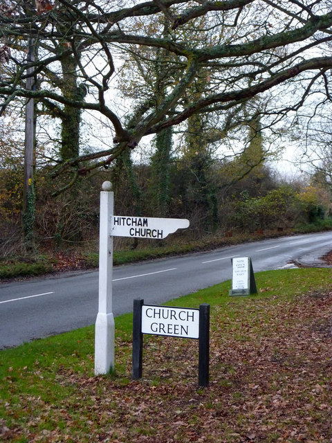
Image: © Andrew Hill Taken: 30 Nov 2009
Most of the village is strung out as ribbon development along the B1115 further to the northeast.
Images are licensed for reuse under creativecommons.org/licenses/by-sa/2.0
Image Location
Latitude
52.121809
Longitude
0.895797