The Point Road near Banbridge
Introduction
The photograph on this page of The Point Road near Banbridge by Albert Bridge as part of the Geograph project.
The Geograph project started in 2005 with the aim of publishing, organising and preserving representative images for every square kilometre of Great Britain, Ireland and the Isle of Man.

There are currently over 7.5m images from over 14,400 individuals and you can help contribute to the project by visiting https://www.geograph.org.uk
The Point Road near Banbridge
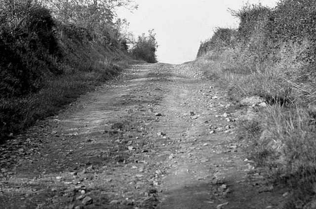
Image: © Albert Bridge Taken: Unknown
The Point Road runs from the Drumnagally Road (Smyth’s Hill) Image to Listullyard fort Image 40 years ago it was an unsurfaced track.
Images are licensed for reuse under creativecommons.org/licenses/by-sa/2.0
Image Location
Latitude
54.354919
Longitude
-6.299163