Turk's Head
Introduction
The photograph on this page of Turk's Head by David Squire as part of the Geograph project.
The Geograph project started in 2005 with the aim of publishing, organising and preserving representative images for every square kilometre of Great Britain, Ireland and the Isle of Man.

There are currently over 7.5m images from over 14,400 individuals and you can help contribute to the project by visiting https://www.geograph.org.uk
Turk's Head
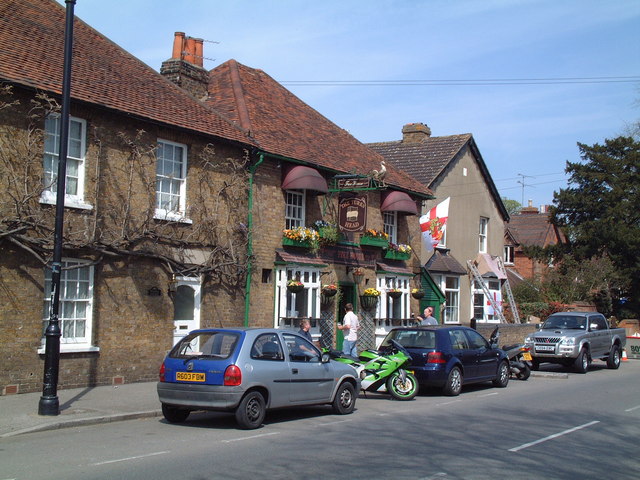
Image: © David Squire Taken: 22 Apr 2006
The pub has beautiful hanging baskets throughout the summer months. Adjacent are Wisteria Cottage and the Corner House, both listed buildings.
Images are licensed for reuse under creativecommons.org/licenses/by-sa/2.0
Image Location
Latitude
51.409375
Longitude
-0.488821