Pen-y-Cae - Bridgend
Introduction
The photograph on this page of Pen-y-Cae - Bridgend by Mick Lobb as part of the Geograph project.
The Geograph project started in 2005 with the aim of publishing, organising and preserving representative images for every square kilometre of Great Britain, Ireland and the Isle of Man.

There are currently over 7.5m images from over 14,400 individuals and you can help contribute to the project by visiting https://www.geograph.org.uk
Pen-y-Cae - Bridgend
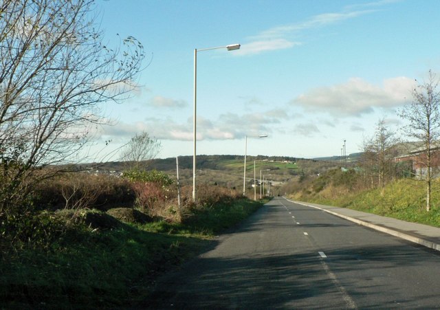
Image: © Mick Lobb Taken: 30 Nov 2009
Marked as an A road on the map the road soon becomes a narrow lane with some hair pin bends as it drops into the valley of the River Ogmore (Afon Ogwr). To the left a long abandoned quarry and to the right the McArthur Glen retail park beside the M4 which can be glimpsed climbing the opposite side of the valley in the distance.
Images are licensed for reuse under creativecommons.org/licenses/by-sa/2.0
Image Location
Latitude
51.530329
Longitude
-3.580306