Footpath to Castle Hill
Introduction
The photograph on this page of Footpath to Castle Hill by Trevor Rickard as part of the Geograph project.
The Geograph project started in 2005 with the aim of publishing, organising and preserving representative images for every square kilometre of Great Britain, Ireland and the Isle of Man.

There are currently over 7.5m images from over 14,400 individuals and you can help contribute to the project by visiting https://www.geograph.org.uk
Footpath to Castle Hill
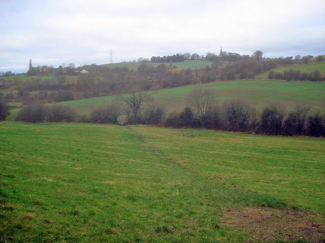
Image: © Trevor Rickard Taken: 28 Nov 2009
Looking north-west across the Erewash valley to Castle Hill and the spire of St Wilfrid's Church (Image). The river runs behind the first hedge. Beyond the next field are the embankments of the old railway lines serving the local collieries, which ran through a tunnel on the right. Castle Hill is so named because it was once the site of Kirkby Castle.
Images are licensed for reuse under creativecommons.org/licenses/by-sa/2.0
Image Location
Latitude
53.093359
Longitude
-1.265269