2009 : Track to Ludlow's Farm
Introduction
The photograph on this page of 2009 : Track to Ludlow's Farm by Maurice Pullin as part of the Geograph project.
The Geograph project started in 2005 with the aim of publishing, organising and preserving representative images for every square kilometre of Great Britain, Ireland and the Isle of Man.

There are currently over 7.5m images from over 14,400 individuals and you can help contribute to the project by visiting https://www.geograph.org.uk
2009 : Track to Ludlow's Farm
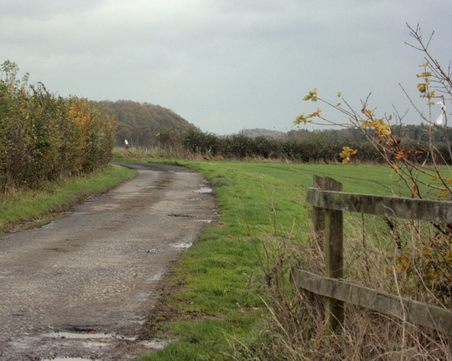
Image: © Maurice Pullin Taken: 16 Nov 2009
Seen from Bath Old Road. A closer look at the white thing to the left shows it to be a traffic cone sitting on a post.
Images are licensed for reuse under creativecommons.org/licenses/by-sa/2.0
Image Location
Latitude
51.300657
Longitude
-2.444749