Waste ground near Portland Park - 2
Introduction
The photograph on this page of Waste ground near Portland Park - 2 by Trevor Rickard as part of the Geograph project.
The Geograph project started in 2005 with the aim of publishing, organising and preserving representative images for every square kilometre of Great Britain, Ireland and the Isle of Man.

There are currently over 7.5m images from over 14,400 individuals and you can help contribute to the project by visiting https://www.geograph.org.uk
Waste ground near Portland Park - 2
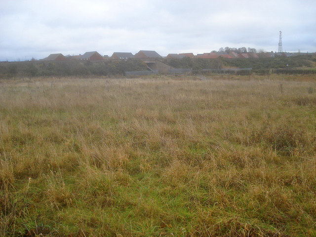
Image: © Trevor Rickard Taken: 28 Nov 2009
Looking east to the railway embankment and the bridge over Lindley's Lane. Beyond the embankment are the houses on Grives Lane at the southern end of Kirkby-in-Ashfield.
Images are licensed for reuse under creativecommons.org/licenses/by-sa/2.0
Image Location
Latitude
53.090848
Longitude
-1.251724