Castleton Bridge and River Esk (west side)
Introduction
The photograph on this page of Castleton Bridge and River Esk (west side) by Philip Barker as part of the Geograph project.
The Geograph project started in 2005 with the aim of publishing, organising and preserving representative images for every square kilometre of Great Britain, Ireland and the Isle of Man.

There are currently over 7.5m images from over 14,400 individuals and you can help contribute to the project by visiting https://www.geograph.org.uk
Castleton Bridge and River Esk (west side)
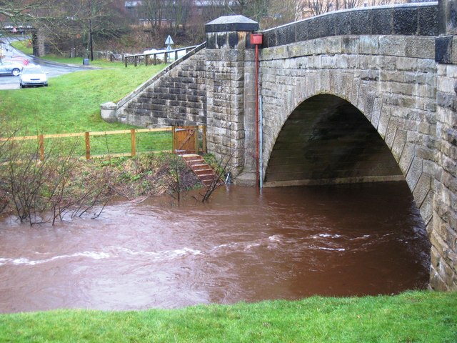
Image: © Philip Barker Taken: 29 Nov 2009
Castleton road bridge enables pedestrians and vehicles to cross the River Esk as they make their way to and from Castleton. The railway bridge (near the rail station) can be seen in the background on the left-hand side of the picture. Notice the flood-defence warning system attached to the bridge.
Images are licensed for reuse under creativecommons.org/licenses/by-sa/2.0
Image Location


Leaflet Map data © OpenStreetMap
Latitude
54.466365
Longitude
-0.945125