Forge Cottage, Elstead
Introduction
The photograph on this page of Forge Cottage, Elstead by Peter Facey as part of the Geograph project.
The Geograph project started in 2005 with the aim of publishing, organising and preserving representative images for every square kilometre of Great Britain, Ireland and the Isle of Man.

There are currently over 7.5m images from over 14,400 individuals and you can help contribute to the project by visiting https://www.geograph.org.uk
Forge Cottage, Elstead
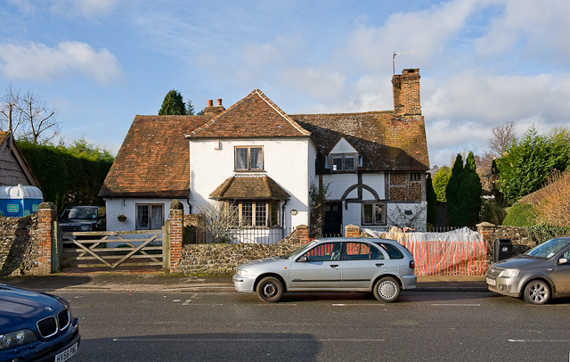
Image: © Peter Facey Taken: 28 Nov 2009
On the west side of the green. "Forge Cottage dates back to the 17th century. As well as being the blacksmith's forge, it was also once the home of the village post office." according to the Elstead village Map.
Images are licensed for reuse under creativecommons.org/licenses/by-sa/2.0
Image Location


Leaflet Map data © OpenStreetMap
Latitude
51.185168
Longitude
-0.70407