Wychwood Lane
Introduction
The photograph on this page of Wychwood Lane by Simon Carey as part of the Geograph project.
The Geograph project started in 2005 with the aim of publishing, organising and preserving representative images for every square kilometre of Great Britain, Ireland and the Isle of Man.

There are currently over 7.5m images from over 14,400 individuals and you can help contribute to the project by visiting https://www.geograph.org.uk
Wychwood Lane
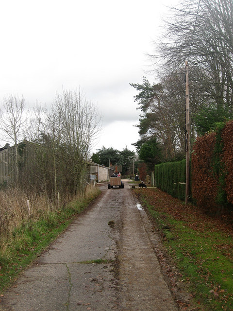
Image: © Simon Carey Taken: 29 Nov 2009
Private road that serves the residences of both Wychwood Farm and a couple of other houses off the A281. The road is also a public footpath.
Images are licensed for reuse under creativecommons.org/licenses/by-sa/2.0
Image Location


Leaflet Map data © OpenStreetMap
Latitude
50.952199
Longitude
-0.281308