Railway direction sign, Belfast
Introduction
The photograph on this page of Railway direction sign, Belfast by Albert Bridge as part of the Geograph project.
The Geograph project started in 2005 with the aim of publishing, organising and preserving representative images for every square kilometre of Great Britain, Ireland and the Isle of Man.

There are currently over 7.5m images from over 14,400 individuals and you can help contribute to the project by visiting https://www.geograph.org.uk
Railway direction sign, Belfast
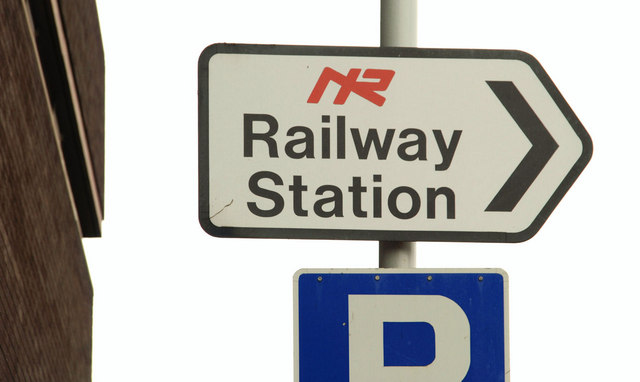
Image: © Albert Bridge Taken: 29 Nov 2009
A sign, on the Jubilee Road, pointing to the City Hospital station Image It shows the last of the Northern Ireland Railways logos (now replaced by the Translink variety). Railway stations are now “train stations” implying that they are stations on the train rather than stations (stopping places) on the railway. For something more recent (June 2013) see Image
Images are licensed for reuse under creativecommons.org/licenses/by-sa/2.0
Image Location
Latitude
54.58676
Longitude
-5.942985