Cross Lane Farm House
Introduction
The photograph on this page of Cross Lane Farm House by Alan Murray-Rust as part of the Geograph project.
The Geograph project started in 2005 with the aim of publishing, organising and preserving representative images for every square kilometre of Great Britain, Ireland and the Isle of Man.

There are currently over 7.5m images from over 14,400 individuals and you can help contribute to the project by visiting https://www.geograph.org.uk
Cross Lane Farm House
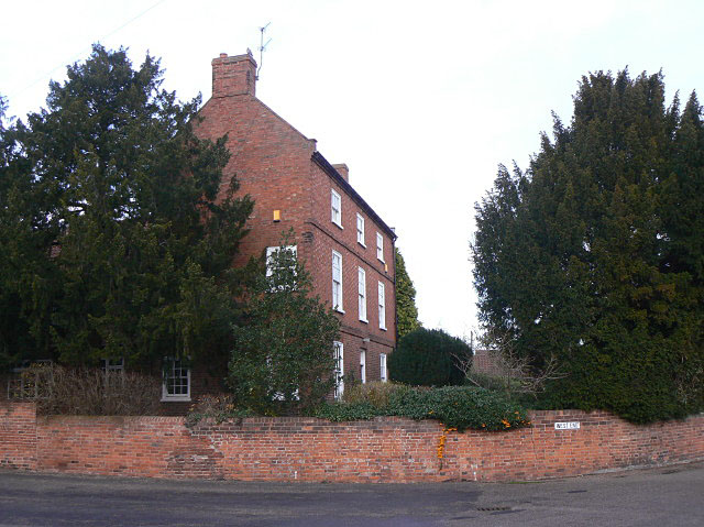
Image: © Alan Murray-Rust Taken: 27 Nov 2009
Farming activity ceased some time ago. The house is an impressive 3 storey building from the late 18th century in typical Nottinghamshire style.
Images are licensed for reuse under creativecommons.org/licenses/by-sa/2.0
Image Location
Latitude
53.057043
Longitude
-0.85542