Lower Dock Street Newport approaching Octopus Bridge roundabout
Introduction
The photograph on this page of Lower Dock Street Newport approaching Octopus Bridge roundabout by Jaggery as part of the Geograph project.
The Geograph project started in 2005 with the aim of publishing, organising and preserving representative images for every square kilometre of Great Britain, Ireland and the Isle of Man.

There are currently over 7.5m images from over 14,400 individuals and you can help contribute to the project by visiting https://www.geograph.org.uk
Lower Dock Street Newport approaching Octopus Bridge roundabout
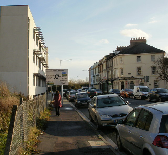
Image: © Jaggery Taken: 27 Nov 2009
The view southeastwards along Lower Dock Street. The sign is a little misleading. Octopus Bridge (so called because of the number of roads that converged on it, several but probably not eight) was demolished in the 1990s during the construction of Usk Way. In its place is the roundabout sometimes referred to as the Octopus (Bridge) roundabout.http://www.geograph.org.uk/photo/1600389
Images are licensed for reuse under creativecommons.org/licenses/by-sa/2.0
Image Location
Latitude
51.580404
Longitude
-2.987082