Grange Road in Jarrow
Introduction
The photograph on this page of Grange Road in Jarrow by Vin Mullen as part of the Geograph project.
The Geograph project started in 2005 with the aim of publishing, organising and preserving representative images for every square kilometre of Great Britain, Ireland and the Isle of Man.

There are currently over 7.5m images from over 14,400 individuals and you can help contribute to the project by visiting https://www.geograph.org.uk
Grange Road in Jarrow
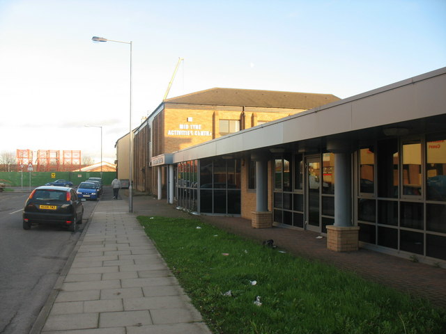
Image: © Vin Mullen Taken: 27 Nov 2009
Grange Road in Jarrow. Looking East. On the left of the picture the New Tyne Crossing construction. The furthest building is the Royal Oak Public House (Longbar). Then the Mid Tyne Activities Centre. And finally on the right of the picture the Millennium PHAB Club.
Images are licensed for reuse under creativecommons.org/licenses/by-sa/2.0
Image Location
Latitude
54.981665
Longitude
-1.485902