Cruck Cottage, The Causeway
Introduction
The photograph on this page of Cruck Cottage, The Causeway by Howard Fuller as part of the Geograph project.
The Geograph project started in 2005 with the aim of publishing, organising and preserving representative images for every square kilometre of Great Britain, Ireland and the Isle of Man.

There are currently over 7.5m images from over 14,400 individuals and you can help contribute to the project by visiting https://www.geograph.org.uk
Cruck Cottage, The Causeway
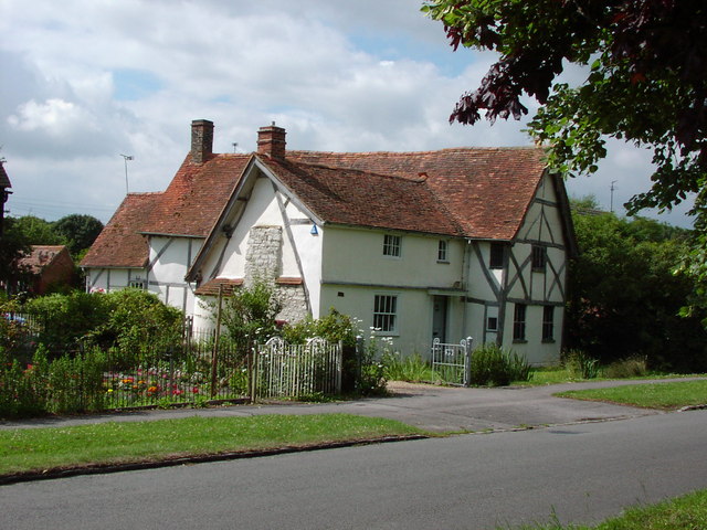
Image: © Howard Fuller Taken: 19 Jul 2001
The visible 'cruck' (leaning beams) in the end-wall is one of three in the original wing of the cottage built in April 1415 (dated from the dendrochronology of a cruck beam). Note stone chimney inserted later.
Images are licensed for reuse under creativecommons.org/licenses/by-sa/2.0
Image Location


Leaflet Map data © OpenStreetMap
Latitude
51.623641
Longitude
-1.322667