Bradlow Knoll
Introduction
The photograph on this page of Bradlow Knoll by Trevor Rickard as part of the Geograph project.
The Geograph project started in 2005 with the aim of publishing, organising and preserving representative images for every square kilometre of Great Britain, Ireland and the Isle of Man.

There are currently over 7.5m images from over 14,400 individuals and you can help contribute to the project by visiting https://www.geograph.org.uk
Bradlow Knoll
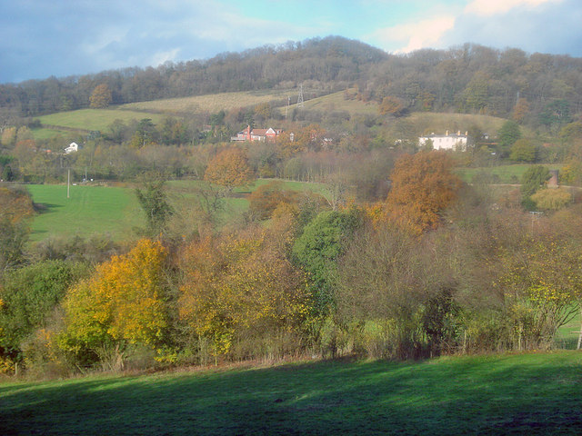
Image: © Trevor Rickard Taken: 17 Nov 2009
Looking north from the edge of Coneygree Wood. Below the hilltop, the houses at Bradlow are strung out along the lane.
Images are licensed for reuse under creativecommons.org/licenses/by-sa/2.0
Image Location
Latitude
52.04579
Longitude
-2.412742