New dual carriageway, Ballymena (9)
Introduction
The photograph on this page of New dual carriageway, Ballymena (9) by Albert Bridge as part of the Geograph project.
The Geograph project started in 2005 with the aim of publishing, organising and preserving representative images for every square kilometre of Great Britain, Ireland and the Isle of Man.

There are currently over 7.5m images from over 14,400 individuals and you can help contribute to the project by visiting https://www.geograph.org.uk
New dual carriageway, Ballymena (9)
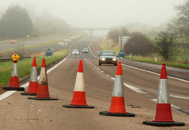
Image: © Albert Bridge Taken: 28 Nov 2009
See Image The off-slip from the M2. It is not likely to see any significant change but the new road will continue, south, at middle left. Continue to Image
Images are licensed for reuse under creativecommons.org/licenses/by-sa/2.0
Image Location
Latitude
54.852676
Longitude
-6.250093