Stapehill, trails
Introduction
The photograph on this page of Stapehill, trails by Mike Faherty as part of the Geograph project.
The Geograph project started in 2005 with the aim of publishing, organising and preserving representative images for every square kilometre of Great Britain, Ireland and the Isle of Man.

There are currently over 7.5m images from over 14,400 individuals and you can help contribute to the project by visiting https://www.geograph.org.uk
Stapehill, trails
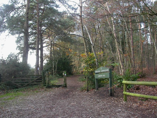
Image: © Mike Faherty Taken: 28 Nov 2009
At this point, two trails cross Uddens Drive: the Castleman Trailway, and the Ferndown, Stour & Forest Trail. The former roughly follows the route of the "Castleman Corkscrew" railway line, which was actually about 100m to the South.
Images are licensed for reuse under creativecommons.org/licenses/by-sa/2.0
Image Location
Latitude
50.806733
Longitude
-1.927995