The track to Timberland Trail
Introduction
The photograph on this page of The track to Timberland Trail by Philip Barker as part of the Geograph project.
The Geograph project started in 2005 with the aim of publishing, organising and preserving representative images for every square kilometre of Great Britain, Ireland and the Isle of Man.

There are currently over 7.5m images from over 14,400 individuals and you can help contribute to the project by visiting https://www.geograph.org.uk
The track to Timberland Trail
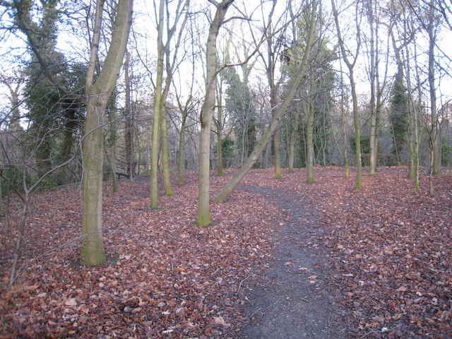
Image: © Philip Barker Taken: 26 Nov 2009
Timberland Trail runs through the rich wooded area that surrounds Marton West Beck. This picture shows an access point to the trail from the north-east corner of Fairy Dell Park.
Images are licensed for reuse under creativecommons.org/licenses/by-sa/2.0
Image Location
Latitude
54.527075
Longitude
-1.210412