Clementine Drive, Belfast
Introduction
The photograph on this page of Clementine Drive, Belfast by Albert Bridge as part of the Geograph project.
The Geograph project started in 2005 with the aim of publishing, organising and preserving representative images for every square kilometre of Great Britain, Ireland and the Isle of Man.

There are currently over 7.5m images from over 14,400 individuals and you can help contribute to the project by visiting https://www.geograph.org.uk
Clementine Drive, Belfast
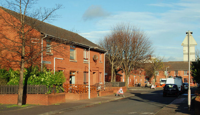
Image: © Albert Bridge Taken: 26 Nov 2009
Clementine Drive follows the approximate line of the old Clementine Street (built in the late 1870’s and originally off Tea Lane). Now part of the re-built area off Sandy Row.
Images are licensed for reuse under creativecommons.org/licenses/by-sa/2.0
Image Location
Latitude
54.591283
Longitude
-5.939508