Entrance to Fairy Dell Park
Introduction
The photograph on this page of Entrance to Fairy Dell Park by Philip Barker as part of the Geograph project.
The Geograph project started in 2005 with the aim of publishing, organising and preserving representative images for every square kilometre of Great Britain, Ireland and the Isle of Man.

There are currently over 7.5m images from over 14,400 individuals and you can help contribute to the project by visiting https://www.geograph.org.uk
Entrance to Fairy Dell Park
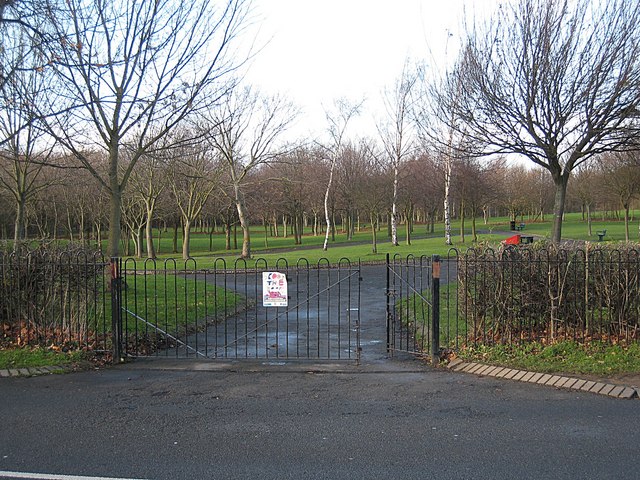
Image: © Philip Barker Taken: 26 Nov 2009
The parkland shown above lies just west of Fairy Dell through which Marton West Beck runs in a north-westerly direction. The park was awarded a Green Flag Award in 2009/2010.
Images are licensed for reuse under creativecommons.org/licenses/by-sa/2.0
Image Location
Latitude
54.524288
Longitude
-1.210311