Field above Ardrossan/Saltcoats
Introduction
The photograph on this page of Field above Ardrossan/Saltcoats by wfmillar as part of the Geograph project.
The Geograph project started in 2005 with the aim of publishing, organising and preserving representative images for every square kilometre of Great Britain, Ireland and the Isle of Man.

There are currently over 7.5m images from over 14,400 individuals and you can help contribute to the project by visiting https://www.geograph.org.uk
Field above Ardrossan/Saltcoats
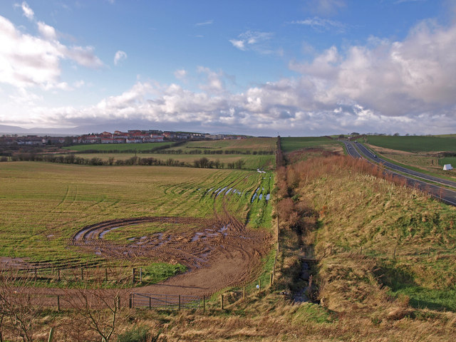
Image: © wfmillar Taken: 26 Nov 2009
The tractors have churned up this field after the harvest. Looks waterlogged now. The bypass on the right, Chapelhill on the left and Arran under cloud.
Images are licensed for reuse under creativecommons.org/licenses/by-sa/2.0
Image Location
Latitude
55.657052
Longitude
-4.793091