Chartwell Court
Introduction
The photograph on this page of Chartwell Court by Simon Carey as part of the Geograph project.
The Geograph project started in 2005 with the aim of publishing, organising and preserving representative images for every square kilometre of Great Britain, Ireland and the Isle of Man.

There are currently over 7.5m images from over 14,400 individuals and you can help contribute to the project by visiting https://www.geograph.org.uk
Chartwell Court
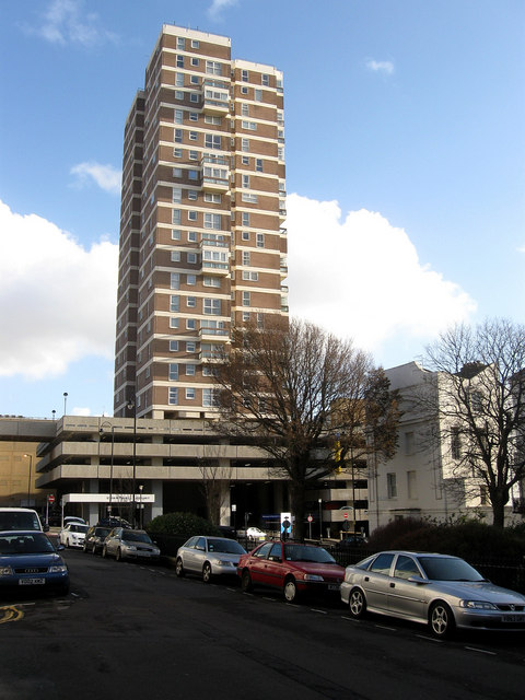
Image: © Simon Carey Taken: 25 Nov 2009
Tower block built on top of a multi-storey car park in the 1960s as part of the first Churchill Square development. Viewed from Russell Square.
Images are licensed for reuse under creativecommons.org/licenses/by-sa/2.0
Image Location
Latitude
50.822887
Longitude
-0.146919