Calvadnack and Farmland
Introduction
The photograph on this page of Calvadnack and Farmland by Tony Atkin as part of the Geograph project.
The Geograph project started in 2005 with the aim of publishing, organising and preserving representative images for every square kilometre of Great Britain, Ireland and the Isle of Man.

There are currently over 7.5m images from over 14,400 individuals and you can help contribute to the project by visiting https://www.geograph.org.uk
Calvadnack and Farmland
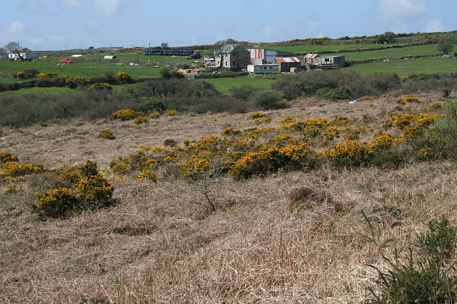
Image: © Tony Atkin Taken: 27 Apr 2006
Calvadnack is an area of open access heathland. There is a footpath marked on the OS map crossing it from north to south, however the footpath could not be found. The northern half of Calvadnack is used for rough cattle grazing and is passable but the vegetation makes the southern half impassable, even in the springtime before the bracken has regrown.
Images are licensed for reuse under creativecommons.org/licenses/by-sa/2.0
Image Location
Latitude
50.175963
Longitude
-5.245025