St Aidan's church hall, Belfast (detail) (2)
Introduction
The photograph on this page of St Aidan's church hall, Belfast (detail) (2) by Albert Bridge as part of the Geograph project.
The Geograph project started in 2005 with the aim of publishing, organising and preserving representative images for every square kilometre of Great Britain, Ireland and the Isle of Man.

There are currently over 7.5m images from over 14,400 individuals and you can help contribute to the project by visiting https://www.geograph.org.uk
St Aidan's church hall, Belfast (detail) (2)
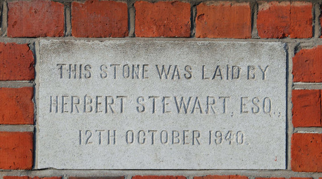
Image: © Albert Bridge Taken: 26 Nov 2009
See Image This foundation stone also faces Tierney Gardens. The date is interesting in view of the wartime restrictions on building materials in non-essential work.
Images are licensed for reuse under creativecommons.org/licenses/by-sa/2.0
Image Location
Latitude
54.5893
Longitude
-5.939144