Nine Maidens - a long shot
Introduction
The photograph on this page of Nine Maidens - a long shot by Tony Atkin as part of the Geograph project.
The Geograph project started in 2005 with the aim of publishing, organising and preserving representative images for every square kilometre of Great Britain, Ireland and the Isle of Man.

There are currently over 7.5m images from over 14,400 individuals and you can help contribute to the project by visiting https://www.geograph.org.uk
Nine Maidens - a long shot
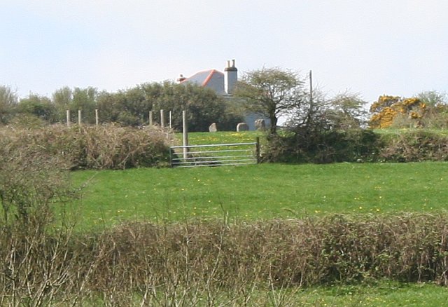
Image: © Tony Atkin Taken: 27 Apr 2006
The Nine Maidens is the remains of an ancient stone circle. The OS map shows a path leading past the stones but it is unmarked and access has been blocked. This photograph, taken from the base of the hill, shows three of the stones in the field next to the house.
Images are licensed for reuse under creativecommons.org/licenses/by-sa/2.0
Image Location
Latitude
50.183107
Longitude
-5.246911