Tank Sign at footpath/track junction
Introduction
The photograph on this page of Tank Sign at footpath/track junction by David Anstiss as part of the Geograph project.
The Geograph project started in 2005 with the aim of publishing, organising and preserving representative images for every square kilometre of Great Britain, Ireland and the Isle of Man.

There are currently over 7.5m images from over 14,400 individuals and you can help contribute to the project by visiting https://www.geograph.org.uk
Tank Sign at footpath/track junction
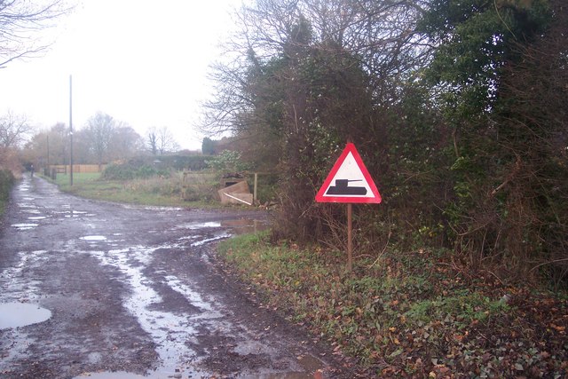
Image: © David Anstiss Taken: 22 Nov 2009
A track from Swattenden Lane heads straight on to Mount Ephraim and Cranbrook. Another track heads right towards Swattenden Farm. Land on the right is used for manoeuvres of a tank (in private hands). See Image
Images are licensed for reuse under creativecommons.org/licenses/by-sa/2.0
Image Location
Latitude
51.083834
Longitude
0.522881