Start of the descent to Clovelly
Introduction
The photograph on this page of Start of the descent to Clovelly by Eirian Evans as part of the Geograph project.
The Geograph project started in 2005 with the aim of publishing, organising and preserving representative images for every square kilometre of Great Britain, Ireland and the Isle of Man.

There are currently over 7.5m images from over 14,400 individuals and you can help contribute to the project by visiting https://www.geograph.org.uk
Start of the descent to Clovelly
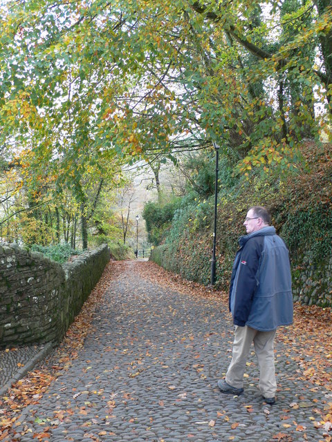
Image: © Eirian Evans Taken: 24 Nov 2009
The fishing village of Clovelly is built into a cleft in a 400' high cliff. This is the top of the steep cobbled path down from the Visitor Centre to the village.
Images are licensed for reuse under creativecommons.org/licenses/by-sa/2.0
Image Location
Latitude
50.998878
Longitude
-4.401149