Towards Reilth Farm
Introduction
The photograph on this page of Towards Reilth Farm by Graham Horn as part of the Geograph project.
The Geograph project started in 2005 with the aim of publishing, organising and preserving representative images for every square kilometre of Great Britain, Ireland and the Isle of Man.

There are currently over 7.5m images from over 14,400 individuals and you can help contribute to the project by visiting https://www.geograph.org.uk
Towards Reilth Farm
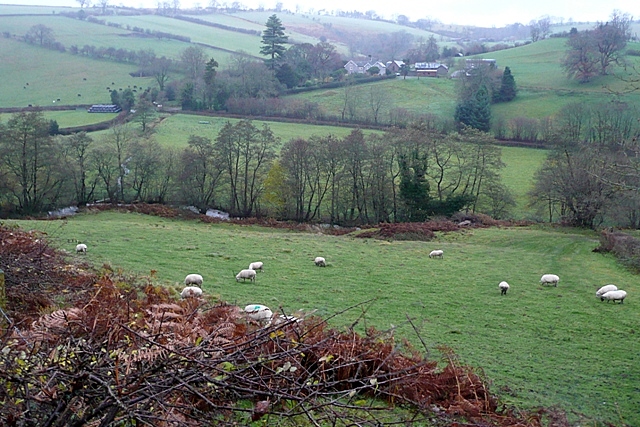
Image: © Graham Horn Taken: 21 Nov 2009
Looking down into the River Unk valley and to Reilth Farm, a valley sheep farm. The rain was starting again in earnest.
Images are licensed for reuse under creativecommons.org/licenses/by-sa/2.0
Image Location
Latitude
52.474349
Longitude
-3.062916