Chew Vale, Greenfield
Introduction
The photograph on this page of Chew Vale, Greenfield by Bill Boaden as part of the Geograph project.
The Geograph project started in 2005 with the aim of publishing, organising and preserving representative images for every square kilometre of Great Britain, Ireland and the Isle of Man.

There are currently over 7.5m images from over 14,400 individuals and you can help contribute to the project by visiting https://www.geograph.org.uk
Chew Vale, Greenfield
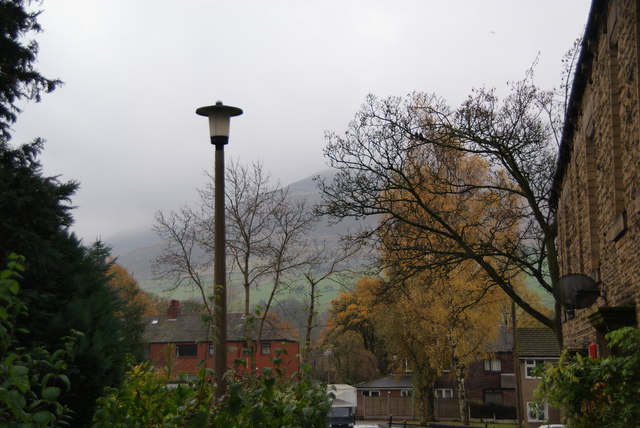
Image: © Bill Boaden Taken: 31 Oct 2009
A residential street, with widely differing ages and styles of housing.
Images are licensed for reuse under creativecommons.org/licenses/by-sa/2.0
Image Location
Latitude
53.535621
Longitude
-2.006902