Gladstone Row
Introduction
The photograph on this page of Gladstone Row by Simon Carey as part of the Geograph project.
The Geograph project started in 2005 with the aim of publishing, organising and preserving representative images for every square kilometre of Great Britain, Ireland and the Isle of Man.

There are currently over 7.5m images from over 14,400 individuals and you can help contribute to the project by visiting https://www.geograph.org.uk
Gladstone Row
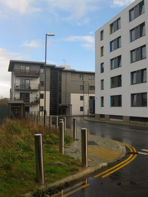
Image: © Simon Carey Taken: 25 Nov 2009
Two years on from Image The white block on the right is a students hall of residence for Bellerbeys College which occupies the area between Stroudley Road and Billinton Way. The former leaves Fleet Street then climbs onto the area that was once occupied by the locomotive works then loops around at this point and heads south towards Brighton station.
Images are licensed for reuse under creativecommons.org/licenses/by-sa/2.0
Image Location
Latitude
50.832872
Longitude
-0.141411