BHASVIC Playing Fields
Introduction
The photograph on this page of BHASVIC Playing Fields by Simon Carey as part of the Geograph project.
The Geograph project started in 2005 with the aim of publishing, organising and preserving representative images for every square kilometre of Great Britain, Ireland and the Isle of Man.

There are currently over 7.5m images from over 14,400 individuals and you can help contribute to the project by visiting https://www.geograph.org.uk
BHASVIC Playing Fields
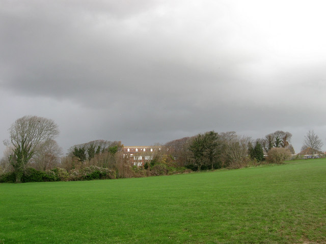
Image: © Simon Carey Taken: 25 Nov 2009
BHASVIC is the local acronym used for Brighton, Hove and Sussex Sixth Form College and the fields between Dyke Road Park and Old Shoreham Road are private and belong to the college. The trees mark the location of a cutting prior to the Cliftonville Spur heading through a tunnel on to way to Preston Park station. The building beyond is part of Cardinal Newman school. As the sky suggests it is about to rain.
Images are licensed for reuse under creativecommons.org/licenses/by-sa/2.0
Image Location
Latitude
50.835544
Longitude
-0.156785